National Parks of the Northern Region

The northern part of Tanzania is a region characterized by its geological wonders and unique wilderness. The majestic Mount Kilimanjaro, UNESCO World Heritage Site, is the largest free-standing volcanic mass of the world, and the highest peak on the African continent. Whether you are on its summit, or further down in the wild steppes of the Serengeti, you will find breathtaking scenes full of untamed life. Either way, Mount Kilimanjaro and Serengeti Park are great starting points for countless excursions. Nearby, Mount Meru is also an equally challenging mountain to climb for those who choose to do so.

Let your dream tour become a reality to be filled with great memories as you go on a journey to observe the tree-climbing lions of Lake Manyara, or the flamingos of Lake Natron. A visit to the elephant kingdom and the magnificent baobab trees of Tarangire will provide a moving feeling to the passionate wildlife lover. As an ultimate destination, one can choose to take a hike on a trail of the Ngorongoro Crater; it is as though you were present on the first days of the creation.

Arusha National Park

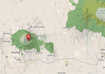
Arusha National Park (ANAPA) is a gem of varied ecosystems and spectacular views of Mount Meru, the crater that gives the region its name.

Located northeast of Arusha town, the Arusha National Park is an environment that offers an incredible view of Mount Meru, which peaks at 4,566 metres (14,990 feet). The park, which covers 552 km² (212 mi²), is an excellent destination on the northern circuit visited by thousands of tourists every year. When you access the park through the entrance gate, you end up into a shadowy forest where curious blue monkeys, beautiful turacos and trogons can be observed. Amid the wildernesses stands the staggering Ngurdoto Crater located east-southeast of Mount Meru. Its steep bluffs offer you a spectacular view over the vast marshy lands speckled with obstinacies of buffalo and sounders of wart hogs.

©️ OpenStreetMap contributors ♥️ Make a Donation. Website and API terms

Arusha National Park (ANAPA) is a gem of varied ecosystems and spectacular views of Mount Meru, the crater that gives the region its name.

It is a popular destination for day trip visitors who are about to embark from the town of Arusha on longer northern circuit safaris. The small national park includes the slopes, its summit, and ash cone of Mount Meru, the Momela Lakes, the Ngurdoto Crater, and the lush highland forests that blanket its lower slopes. Game viewing around the Momela Lakes is at a laid-back and quiet pace, and while passing through the forest many visitors stop to search for troupes of rare colobus monkeys playing in the canopy.

Climbing Mount Meru or enjoying the smaller trails that criss-cross its lower slopes is a popular activity for visitors to Arusha National Park. The three-day trek to reach the crater’s summit is a quieter, and some say more challenging alternative than the famous peak of nearby Mount Kilimanjaro. Along the lower slopes, the paths to rivers and waterfalls create a relaxing day hike for visitors who do not want to attempt the arduous climb. Ancient fig tree forests, crystal-clear waters cascading from mountain streams, and a chance to spot colobus monkeys are the attractions and pleasures of Arusha National Park.

The entrance gate leads into shadowy montane forest inhabited by inquisitive blue monkeys and colourful turacos and trogons – the only place on the northern safari circuit where the acrobatic black-and-white colobus monkey is easily seen. Amid the forest stands the spectacular Ngurdoto Crater, whose steep rocky cliffs enclose a wide marshy floor dotted with herds of buffalos and wart hogs.

Although elephants are uncommon in Arusha National Park, and lions are absent altogether, leopards and spotted hyenas may be seen slinking around in the early morning and late afternoon. It is also at dusk and dawn that the veil of cloud on the eastern horizon is most likely to clear, revealing the majestic snow-capped peaks of Mount Kilimanjaro, which is only 50 km (30 mi) away.

But it is Mount Kilimanjaro’s unassuming cousin, Mount Meru – the fifth highest mountain in Africa at 4,566 metres (14,990 feet) – that dominates the park’s horizon. With its peaks and eastern foot slopes protected within the national park, Mount Meru offers unparalleled views of its famous neighbour, while also forming a rewarding hiking destination.

Passing first through wooded savannah where buffalos and giraffes are frequently encountered, the ascent of Mount Meru leads into forests aflame with red-hot pokers and dripping with Spanish moss, before reaching highly open heath spiked with giant lobelias. Everlasting flowers cling to the alpine desert, as delicately hoofed klipspringers mark the hike’s progress. Astride the craggy summit, Mount Kilimanjaro stands unveiled, blushing in the sunrise.

Lake Manyara National Park

Located on the way to Ngorongoro Crater and the Serengeti, Lake Manyara National Park is worth a stop.

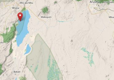
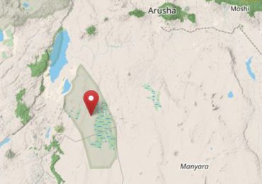
Located in northern Tanzania, the park covers 330 km² (127 mi²), of which up to 200 km² (77 mi²) is the lake when water levels are high. The park is located 126 km west of Arusha.

Situated on the way to Ngorongoro Crater and the Serengeti, Lake Manyara National Park is a must. The groundwater forests, bush plains, baobab strewn cliffs, and hot springs offer a wide ecological variety in a small area, rich in wildlife.

©️ OpenStreetMap contributors ♥️ Make a Donation. Website and API terms

Located on the way to Ngorongoro Crater and the Serengeti, Lake Manyara National Park is worth a stop. Its ground water forests, bush plains, baobab strewn cliffs, and algaestreaked hot springs offer incredible ecological variety in a small area, rich in wildlife and incredible numbers of birds.

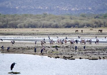
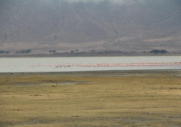
The alkaline soda of Lake Manyara is home to an incredible array of bird life that thrives on its brackish waters. Pink flamingos stoop and graze by the thousands colourful specks against the grey minerals of the lake shore. Yellow-billed storks swoop and corkscrew on thermal winds rising from the escarpment, and herons flap their wings against the sundrenched sky. Even reluctant birdwatchers will find something to watch and marvel at within the national park.

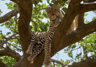
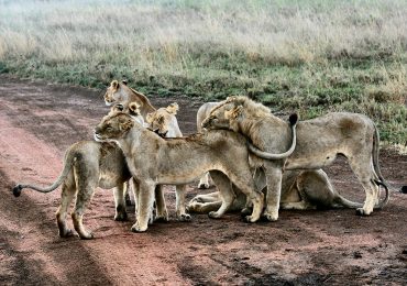
Lake Manyara’s famous tree-climbing lions are another reason to pay a visit to this park. The only kind of their species in the world, they make the ancient mahogany and elegant acacias their home during the rainy season and are a well-known but rare feature of the northern park. In addition to the lions, the national park is also home to the largest concentration of baboons anywhere in the world — a fact that accounts for interesting game viewing of large families of the primates.

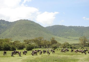
In contrast with the intimacy of the forest, is the grassy floodplain and its expansive views eastward, across the alkaline lake, to the jagged blue volcanic peaks that rise from the endless Maasai steppes. Large buffalos, wildebeest and zebra herds congregate on these grassy plains, and so do the giraffes – some so dark in coloration that they are black from a distance.

Inland of the floodplain, a narrow belt of acacia woodland is the favoured haunt of Manyara’s legendary tree-climbing lions and impressively tusked elephants. Squadrons of banded mongoose dart between the acacias, whereas the diminutive Kirk’s dik-dik forages in their shade. Pairs of klipspringers are often seen silhouetted on the rocks above a field of searing hot springs that steams and bubbles adjacent to the lakeshore in the far south of the park.

The park is in Northern Tanzania, 126 km west of Arusha town along the MakuyuniNgorongoro road, strategically located along the highway to Ngorongoro and Serengeti and is easily accessible by road.

Mount Kilimanjaro National Park

The name itself “Kilimanjaro” is a mystery wreathed in clouds. It might mean Mountain of Light, Mountain of Greatness or Mountain of Caravans.

Mount Kilimanjaro National Park, which covers 1,668 km² (641 mi²), is located near the town of Moshi, just an hour’s drive from Kilimanjaro Airport.

At 5,896 m, Mount Kilimanjaro is Africa’s highest mountain and one of the continent’s magnificent sights. It has three main volcanic peaks, Kibo, Mawenzi, and Shira. The name itself “Kilimanjaro” is a mystery wreathed in clouds. It might mean Mountain of Light, Mountain of Greatness or Mountain of Caravans.

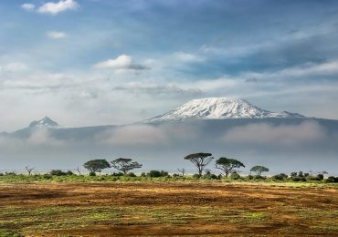
Above the gently rolling hills and plateaux of northern Tanzania rises the snowy peak of Mount Kilimanjaro with its slopes and glaciers shimmering above the rising clouds. Mount Kilimanjaro is located near the town of Moshi and is a protected area, carefully regulated for climbers to enjoy without leaving a trace of their presence. The mountain’s ecosystems are as strikingly beautiful as they are varied and diverse. On the lowland slopes, much of the mountain is farmland, with coffee, banana, cassava, and maize crops grown for subsistence and cash sale. A few larger coffee farms still exist on the lower slopes, but much of the area outside the national park has been subdivided into small plots.

Once inside the park, thick lowland forest covers the lower altitudes and breaks into alpine meadows once the air begins to thin. Near the peak, the landscape is harsh and barren, with rocks and ice, the predominant features above a breathtaking African view. Climbing Mount Kilimanjaro is the highlight of most visitors’ experiences in Tanzania. Few mountains can claim the grandeur, the breathtaking views of Amboseli National Park in Kenya, the Rift Valley, and the Masaai Steppe, which belongs to Kilimanjaro. Hiking on the ‘rooftop of Africa’ — the highest point on the continent at 5896 metres — is the adventure of a lifetime, especially because, if paced well, everyone from seasoned trekkers to first-time enthusiasts can scale the snowy peak.

Kilimanjaro is one of the world’s most accessible high summits, a beacon for visitors from around the world. Most climbers reach the crater rim with little more than a walking stick, proper clothing, and determination. And those who reach Uhuru Point, the actual summit, or Gillman’s Point on the lip of the crater, will have earned their climbing certificates and their memories.

But there is so much more to Kilimanjaro than her summit. The ascent of the slopes is a virtual climatic world tour, from the tropics to the Arctic. Even before you cross the national park boundary (at the 2,700m contour), the cultivated foot slopes give way to lush montane forest, inhabited by elusive elephants, leopards, buffalos, the endangered Abbot’s duikers, and other small antelopes and primates. Higher still lies the moorland zone, where a cover of giant heather is studded with otherworldly giant lobelias. Above 4,000m, a surreal alpine desert supports little life other than a few hardy mosses and lichen. Then, finally, the last vestigial vegetation gives way to a winter wonderland of ice and snow – and the magnificent beauty of the roof of the continent.

Ngorongoro Conservation Area

The jewel in Ngorongoro’s crown is a deep volcanic crater, the largest non-flooded and unbroken caldera in the world.

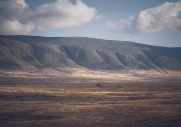
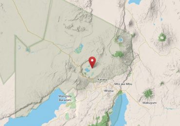
The Ngorongoro Conservation Area is located 180 km (110 mi) west of Arusha in the Crater Highlands area of Tanzania, and covers 8,292 km2 (3,202 mi²). The jewel in Ngorongoro’s crown is a deep volcanic crater, the largest non-flooded and unbroken caldera in the world. About 20 km across, 600 m deep and 300 km² in area, the Ngorongoro Crater is a breathtaking natural wonder.

The Ngorongoro Crater is the world’s largest intact volcanic caldera. Forming a spectacular bowl of about 265 km², with sides up to 600 m deep; it is home to approximately 30,000 animals at any one time. The Crater rim is over 2,200 m high and experiences its own climate. From this high vantage point, it is possible to make out the tiny shapes of animals making their way around the crater floor far below. Swathes of clouds hang around the rocky rim most days of the year. It is also one of the few places in Tanzania where it can get chilly at night.

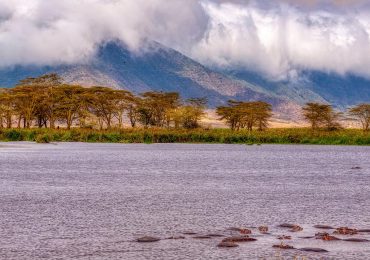
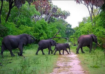
The Ngorongoro Crater floor consists of several different habitats that include grassland, swamps, forests, and Lake Makat (Maasai for ‘salt’) – a central soda lake filled by the Munge River. All these various environments attract wildlife to drink, wallow, graze, hide or climb. Although animals are free to move in and out of this contained environment, the rich volcanic soil, lush forests and spring source lakes on the crater floor (combined with fairly steep crater sides) tend to incline both grazers and predators to remain throughout the year.

©️ OpenStreetMap contributors ♥️ Make a Donation. Website and API terms

Part of the reason behind the Ngorongoro Conservation Area has been to preserve the environment for the Maasai people who were diverted from the Serengeti Plains. Nomadic, Maasai people built temporary villages in circular homesteads called bomas. There are possibilities to visit a couple of these now, which have been opened for tourists to explore. Here you can see how the huts are built in a strict pattern of order according to the chronological order of the wives, and experience what it must be like to rely on warmth and energy from a fire burning at the heart of a cattle dung dwelling with no chimney. These proud cattle-herding people have a great history as warriors. Even though they are no longer allowed to build villages inside, they continue to herd their cattle into the crater to graze and drink, regardless of the predators nearby.

Serengeti National Park

Serengeti National Park is undoubtedly the best-known wildlife sanctuary in the world, unequalled for its natural beauty and scientific value, it has the greatest concentration of plains game in Africa.

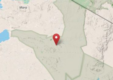
Covering 14,750 km² (5,700 mi²), the Serengeti National Park is an ecosystem in the Mara and Simiyu regions. The park lies in northwestern Tanzania, bordered to the north by the Kenyan border, where it is continuous with the Maasai Mara National Reserve. To the southeast of the park is the Ngorongoro Conservation Area, to the southwest lies Maswa Game Reserve, to the west are the Ikorongo and Grumeti Game Reserves, and to the northeast and east lies the Loliondo Game Control Area. Together, these areas form the larger Serengeti ecosystem.

Created in 1952, Serengeti National Park is the largest reserve in the world. Unique by its natural beauty and scientific value, this reserve is a part of the world’s heritage and home to the world’s largest wildlife gathering. The great migration of wildebeest and zebra, the resident populations of lions, cheetahs, elephants, giraffes and birds are particularly impressive. Nevertheless, there are endangered species.

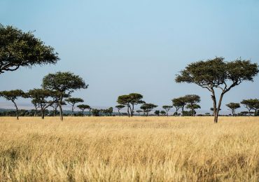
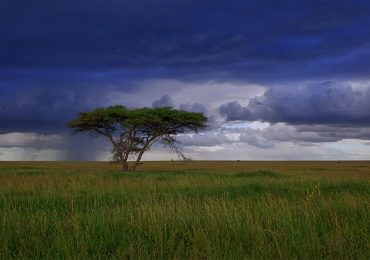
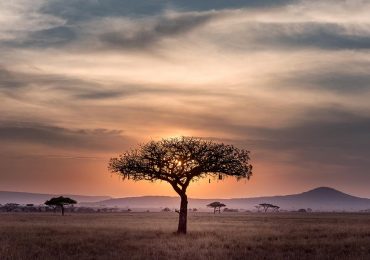
The park is be divided into 3 sections. The popular southern/central part (Seronera Valley) is what the Maasai called the “serengit”, the land of endless plains. Its classic savannah is dotted with acacias and filled with wildlife. The western corridor is marked by the Grumeti River and more forests with dense bush. The Lobo area in the north meets up with Kenya’s Masai Mara Reserve.

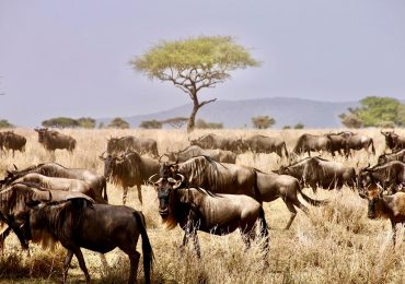
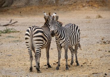
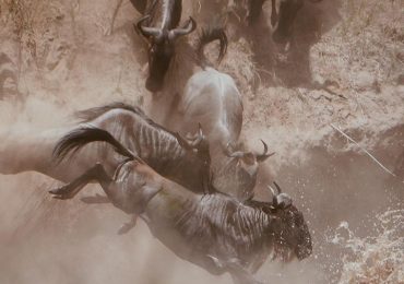
It is the migration for which Serengeti is most famous. Over a million wildebeest and about 200,000 zebras flow from the northern hills to the southern plains for the short rains every October and November, and then swirl west and north after the long rains in April, May and June. So strong is the ancient instinct to move that no drought, gorge or crocodile infested river can hold them back.

©️ OpenStreetMap contributors ♥️ Make a Donation. Website and API terms

The park is in Northern Tanzania, 126 km west of Arusha town along the MakuyuniNgorongoro road, strategically located along the highway to Ngorongoro and Serengeti and is easily accessible by road.

Tarangire National Park

The park is named after the Tarangire River, the only source of water for the wildlife in the region during the dry season. The park is home to remarkably diverse vegetation, unlike any others in the northern safari destination.

Tarangire National Park is a 2,849 km² (1,100 mi²) park in Northern Tanzania. Tarangire National Park contains an exceptionally large wildlife concentration, including the largest species of Africa’s animals, and hundreds of bird species. The park was established in 1970 and is most famous for its large diversity of wildlife, vegetation, birds, tree-climbing lions, and baobab trees.

©️ OpenStreetMap contributors ♥️ Make a Donation. Website and API terms

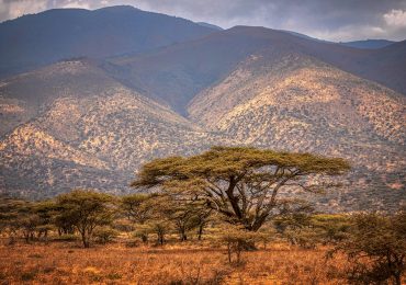
The park’s most obvious features are the permanent Tarangire River, which runs the length of it, and the vast ‘swamps’ – which are, in fact, dry for most of the year. Even though Tarangire is drier than the Serengeti, its vegetation is much denser including densely packed elephant grass, large areas of mixed acacia woodlands and some lovely ribbons of riverine forest.

Think of Tarangire as part of a much larger ecosystem, and you will understand why its game varies with the seasons. From November to May, some of the wildlife leaves the park, north-west to Lake Manyara, or east into the Maasai steppe. From around June to October, when those regions are drier, the animals return to Tarangire’s swamps, and especially, its river system. This is the best season for a game-viewing safari in Tarangire, which can be excellent.
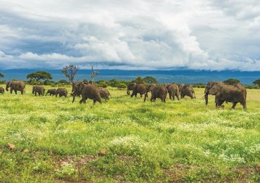
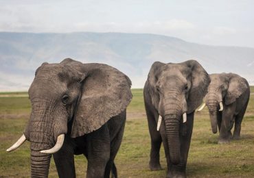
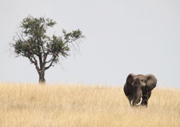
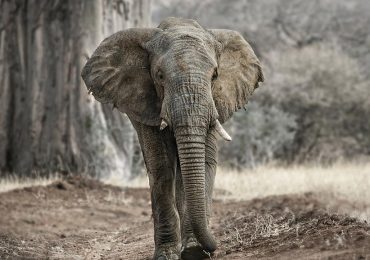
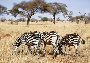
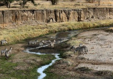
Particularly large numbers of elephant herds congregate here, as do many wildebeest and zebras. There are also substantial populations of impala, giraffe, eland, and buffalo. Thompson’s gazelle, Coke’s hartebeest, bohor reedbuck and both greater and lesser kudu are found here. The localized and unusual gerenuk and fringe-eared oryx also occur here, though in our experience they are seen exceedingly rarely. There are still thought to be a few black rhinos in the park.
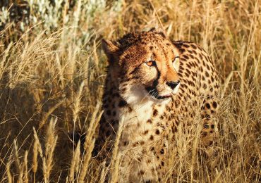
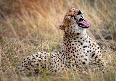
Lion are common throughout Tarangire, as are leopard, whilst cheetahs seem to favour the more open areas of the south. Spotted hyenas are always around, and whilst wild dogs do sometimes pass through; sightings of them are rare.

With a range of environments and good game, Tarangire’s birdlife is also varied – and over 500 species have been recorded here, including ashy starlings and large flocks of beautiful yellow-collared lovebirds, both of which are endemic to Tanzania.